

There's always somewhere new to visit in the National Forest, with an array of unique attractions to explore and discover.
Browse the National Forest Map and explore this destination and things nearby.
Added to basket

Route details

Medium
9 Miles (14.5km)

Time
Allow 4 hours

Map
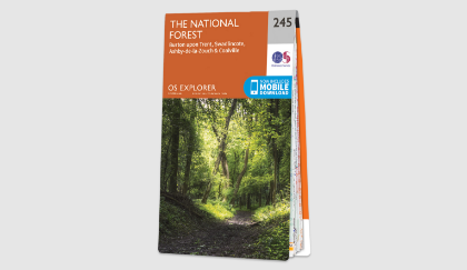
OS Explorer 245 The National Forest

what3words
mock.templates.painted

Os Grid Ref
SK245148

Start
Coton Wood, Lullington Road, Coton-in-the-Elms, DE12 8EP

Path type
Unsurfaced paths, tracks, farmland and tarmacked sections.

Accessibility
Unsurfaced paths which can be muddy in wet weather and stiles may restrict access.
Browse the National Forest Map and explore this destination and things nearby.
Downloads

Spires and stiles
pdf 5.71 Mb
Summary
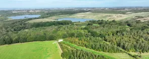
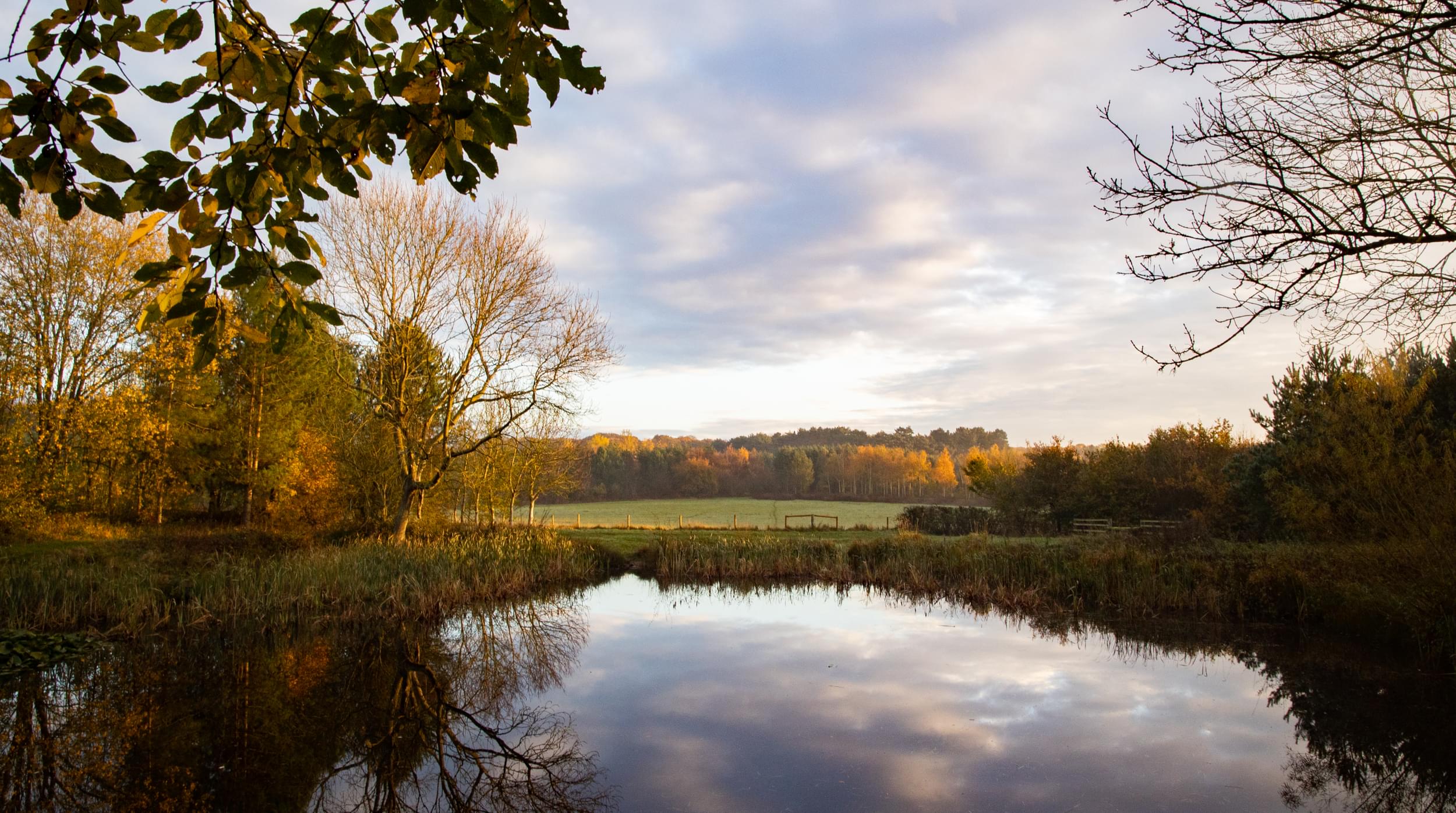
This nine-mile route passes through the pleasant farmland of the Mease Lowlands in South Derbyshire and links six key National Forest sites.
The landscape feels very rural with large cropped fields, intact hedgerows and scattered game coverts linked with a good network of field paths and rural lanes.
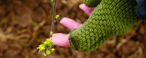
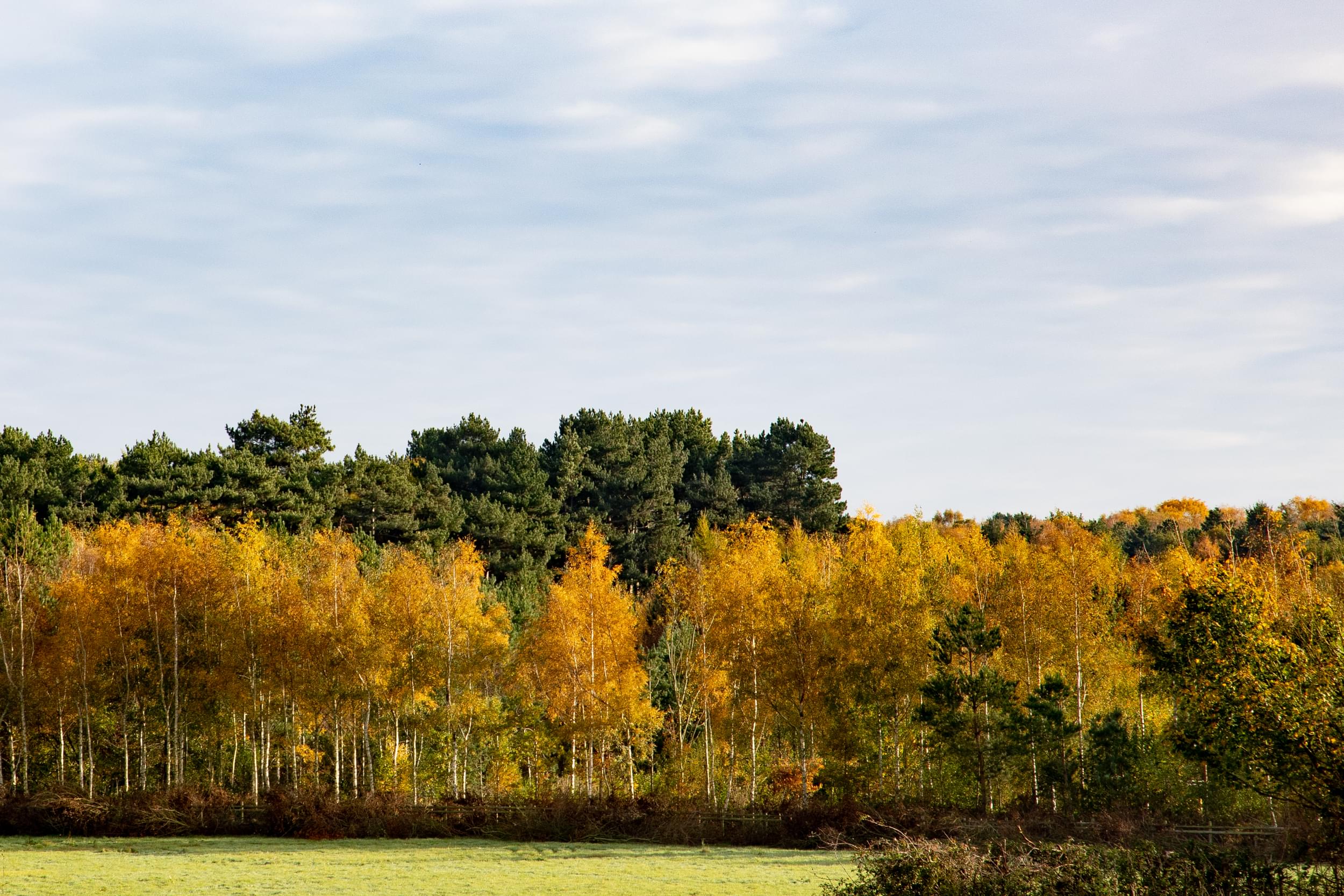
Along the way, you'll see church spires, pass through a mix of woodlands and meadows, before reaching the historic village of Coton in the Elms.
Walk highlights
This site was planted by the Woodland Trust in 1995 on former farmland and lies on an historic path. Before the Church at Coton was built, the dead from the village were carried to Lullington for burial along this route through the “Devil’s Arches”, also known as The Coffin Route.
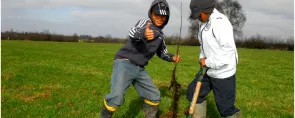
Covering 30ha, the main species growing there are oak, ash, field maple, hawthorn, cherry and other native trees and shrubs.
A 40ha woodland planted in 1997 with native trees and shrubs. Walking, riding (by permit) and fishing are all available on the site.
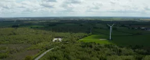
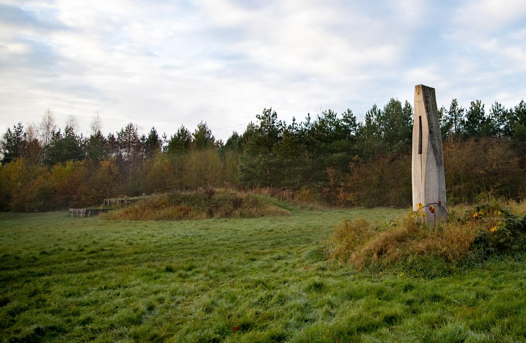
Six Noon Columns are dotted around the Forest. Slots cut into these 3 metre high oak sculptures, designed by internationally renowned artist David Nash, allow rays of sunshine through at true noon each day. Find the Mease Valley Noon Column just off route, found in an open glade within Grangewood.
Between them, these woods cover 80ha and were planted by the Woodland Trust in 1996. An area has been left next to Grangewood Ancient Wood to enable natural regeneration of the existing wood.
A 28ha woodland planted by the Woodland Trust in 1996. An area has been set aside for educational use and includes an all-abilities path and pond. It is under regular management by the Heartwood Community Woodfuel Group, who run volunteer workdays during winter months.
The village is mentioned in the Domesday Book as Redlauestun meaning “farm of Hrolf”. Until 1875, Rosliston was part of the parish of Walton.
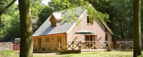
Built on the site of a farm, this was one of the first woodlands planted as part of the National Forest. The land was criss-crossed with footpaths well-trodden by miners on their way to work in local collieries that are now long since gone. The centre offers lots of activities for great days out; from quiet walks to action-packed family fun activities. The mix of woodland and meadow, ponds and play areas offer the perfect playground for visitors of all ages and physical abilities, all year round. Spot the wildlife, join a guided walk or stay the night in one of the lodges.
The village name is derived from “all the cottages in the elms”. Sadly, following the outbreak of Dutch Elm Disease in the 1970s, few of the elms which gave the village its name remain.
Facilities
Where to eat

There's always somewhere new to visit in the National Forest, with an array of unique attractions to explore and discover.

Help us to maintain our trails for others to enjoy, by reporting any issues you come across.