

Browse the National Forest Map and explore this destination and things nearby.
Added to basket
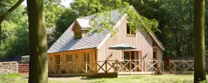
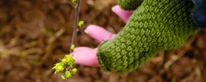
You might also like…
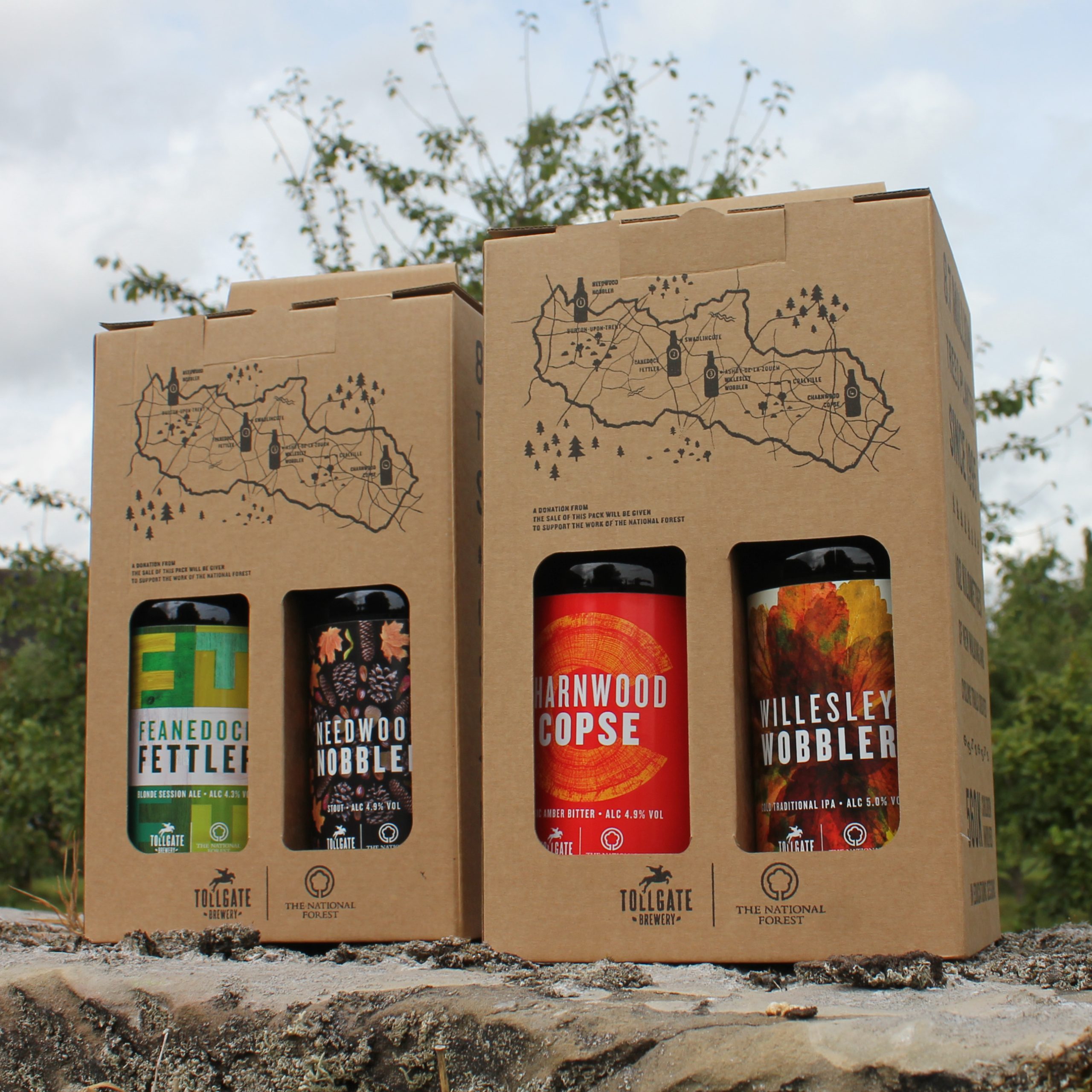 FOOD & DRINK
Best kept villages walk
Route details

Medium
8 miles (13km)

Time
Allow 4 hours

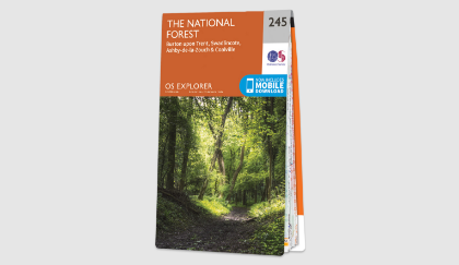
Map
OS Explorer 245 The National Forest

what3words
mock.templates.painted

Os Grid Ref
SK245148

Start
Coton Wood, Lullington Road, Coton-in-the-Elms, DE12 8EP

Path type
Mixture of footpaths over fields, along quiet lanes and through woodland.

Accessibility
TBC
Downloads
-

Best kept villages walk leaflet
pdf 3.52 Mb
-
Best kept villages walk route
txt 12.62 kb
Summary
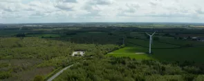
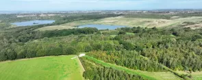
This 8-mile walk takes you through some of the prettiest villages in the Mease Lowlands. It links both ancient woodlands and those that have been planted as part of the developing National Forest. Village greens, historic houses and distinctive church spires are all features of this route.
Taking in some of the rolling countryside in the Mease valley, this walk is a lovely route for exploring the quiet villages of South Derbyshire and uncovering some of the history of the area.
Walk highlights
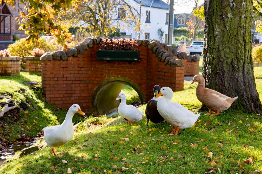
Coton in the Elms
Coton in the Elms derives its name from “all the cottages in the elms”. Some disease-resistant elm trees have been planted at the entrances to the village to replace the many lost through Dutch Elm Disease in the 1970s.
A location just east of Church Flatts Farm, about one mile southeast of the village, is technically the furthest place from the sea in the British Isles.
Coton Wood
An interesting feature of the wood are the old hedgerows which pre-date the planting of the existing wood. The footpaths also have historical relevance, used as far back as the Black Death for moving plague victims. Before Coton-in-the-Elms had its own church, bodies were carried a mile and a half along the coffin trail (known locally as Procession Way) to Lullington for burial. The mourners passed under a curve of tree boughs known as the Devil’s Arches on their journey.
Grangewood and Top Wood
Top Wood was originally made up of a mix of agricultural uses, numerous ponds and small copses. Look closely and you may find signs of medieval ridge and furrow field systems, and the embankment along which a mineral railway line used to run.
The new woodland planting forms an important buffer for the surrounding ancient woodland of Grange Wood (which is not publicly accessible, but visible from the National Forest Way). In time the ancient woodland species will begin to migrate there – a process known as natural regeneration.
Noon Columns
Six Noon Columns are dotted around the Forest. Designed by internationally renowned artist David Nash, slots cut into these 3-metre-tall oak sculptures allow rays of sunlight through at true noon each day. Find the Mease Valley Noon Column just off route, found in an open glade within Grangewood – a short walk from the car park.
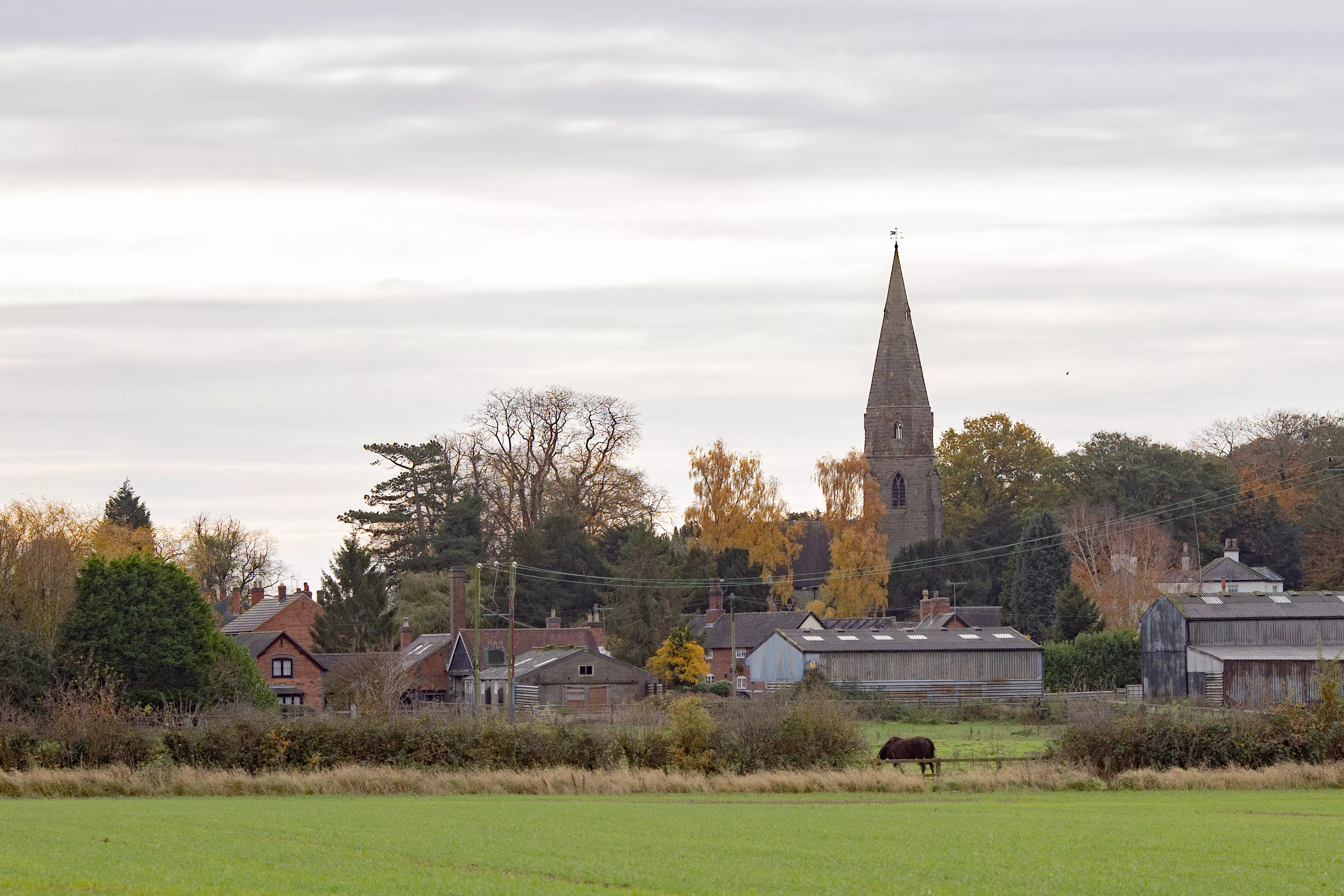
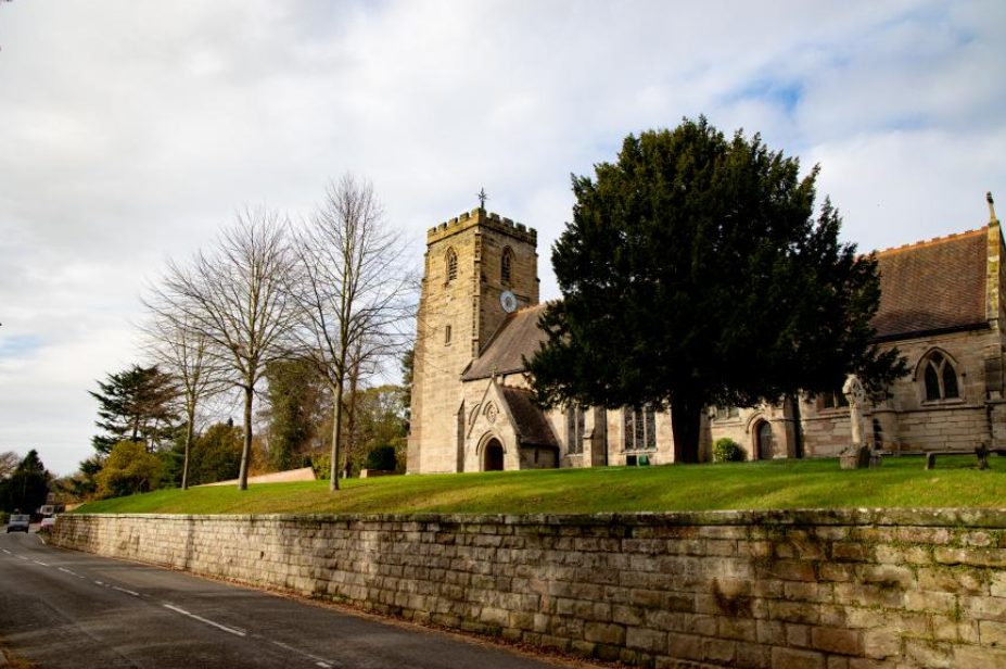
Lullington
Lullington is the most southerly village in Derbyshire. The Colville Arms is named after Charles Robert Colville, former Lord of the Manor and MP for Lullington in the mid 1800s.
The village cricket ground has seen matches played here for over 150 years, and is surrounded by Lullington Wood, planted in 1998. Old parkland trees have been retained and views to no fewer than seven church spires are enhanced by appropriate planting of native species.
Charles Colville planned to build a hall here in 1850 but got no further than laying the foundations and terraces before he changed his mind and altered an existing building in the village to create a grand hall. The foundations can still be seen.
Netherseal
The Domesday Book records Netherseal as being a wooded area on the edge of the Ashby Woulds, with the trading routes of Walton Way and Salt Way running through the parish.
Sir Nigel Gresley, railway engineer, is buried in the graveyard next to the school. Gresley was famous for designing The Mallard which holds the world speed record for steam locomotives, achieving a top speed of 126mph in 1938.
Facilities
- Car Parking
- Grassy Paths
- Picnic Area
- Viewpoint
- Heritage
Where to eat
- The Hub Cafe
- The Honey Pot Tearooms
Also at the same location

There's always somewhere new to visit in the National Forest, with an array of unique attractions to explore and discover.

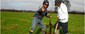
Help us to maintain our trails for others to enjoy, by reporting any issues you come across.