


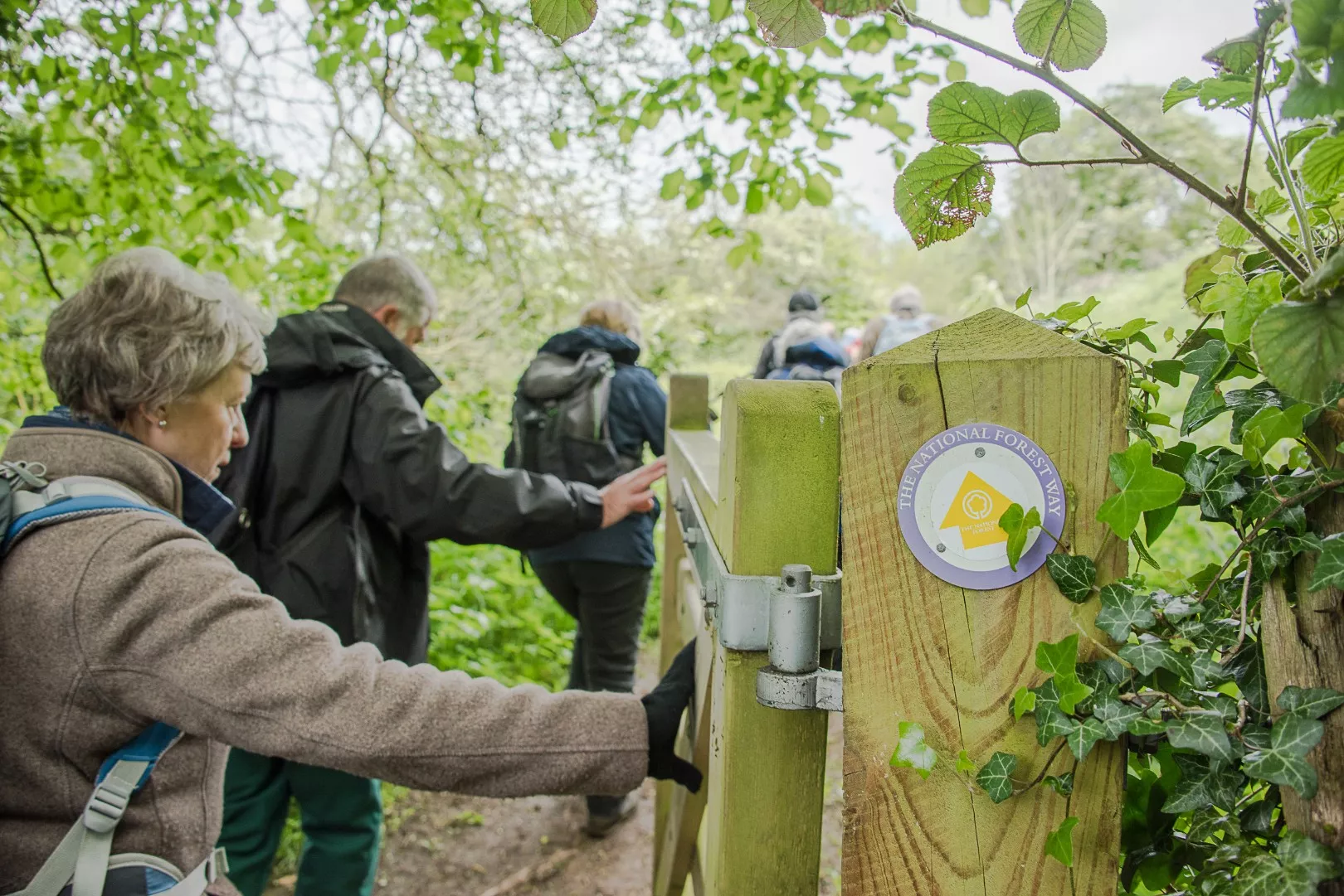
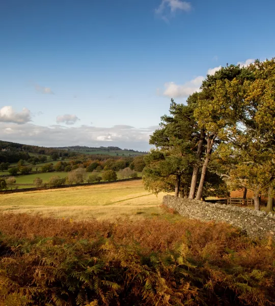
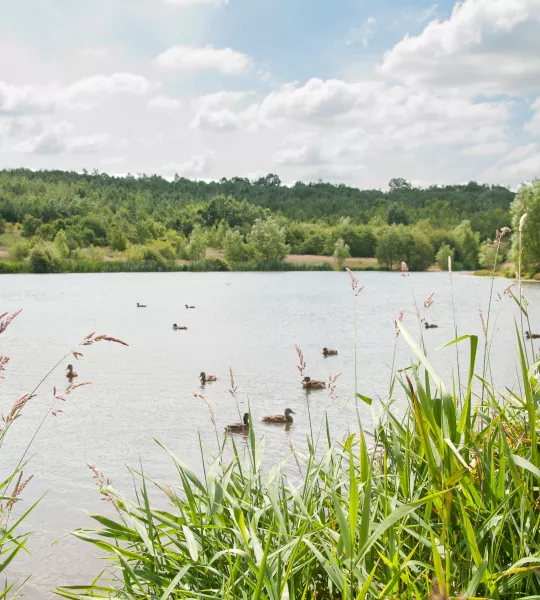
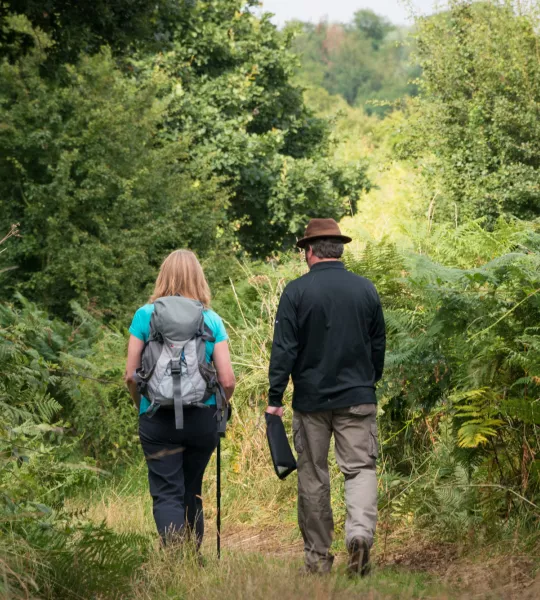
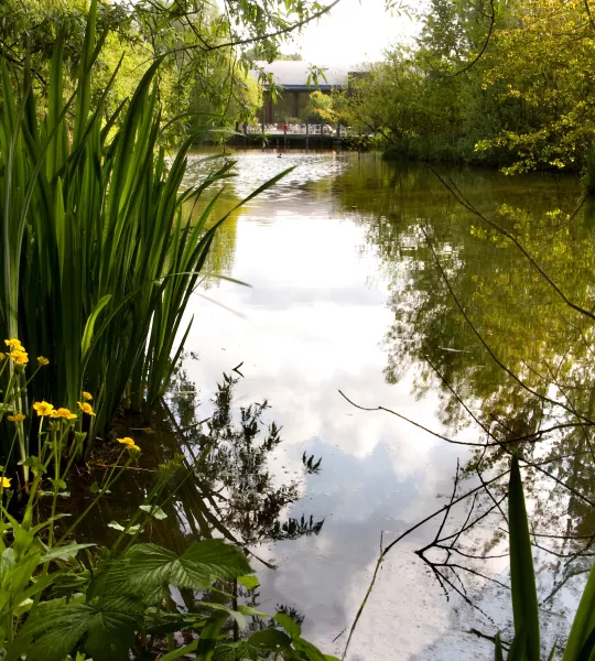
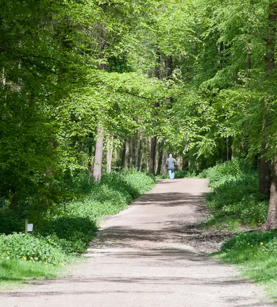
Journey through the transformed landscape of the National Forest along the 75-mile National Forest Way. Extending from the National Memorial Arboretum in Staffordshire to Beacon Hill Country Park in Leicestershire, this long-distance walking trail will take you through rocky outcrops, rolling hills, iconic views and places steeped in industrial heritage.

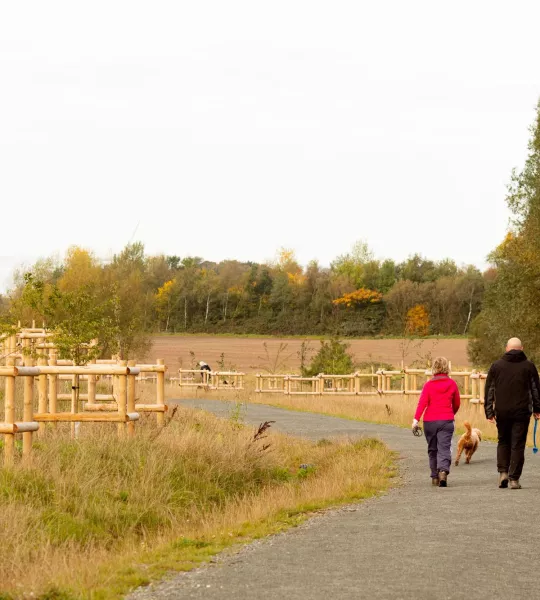


To help keep the National Forest safe and enjoyable for others we’ve put together some simple rules to help protect the natural environment, people and nature.
